Past lots
- Did you mean
- moulded
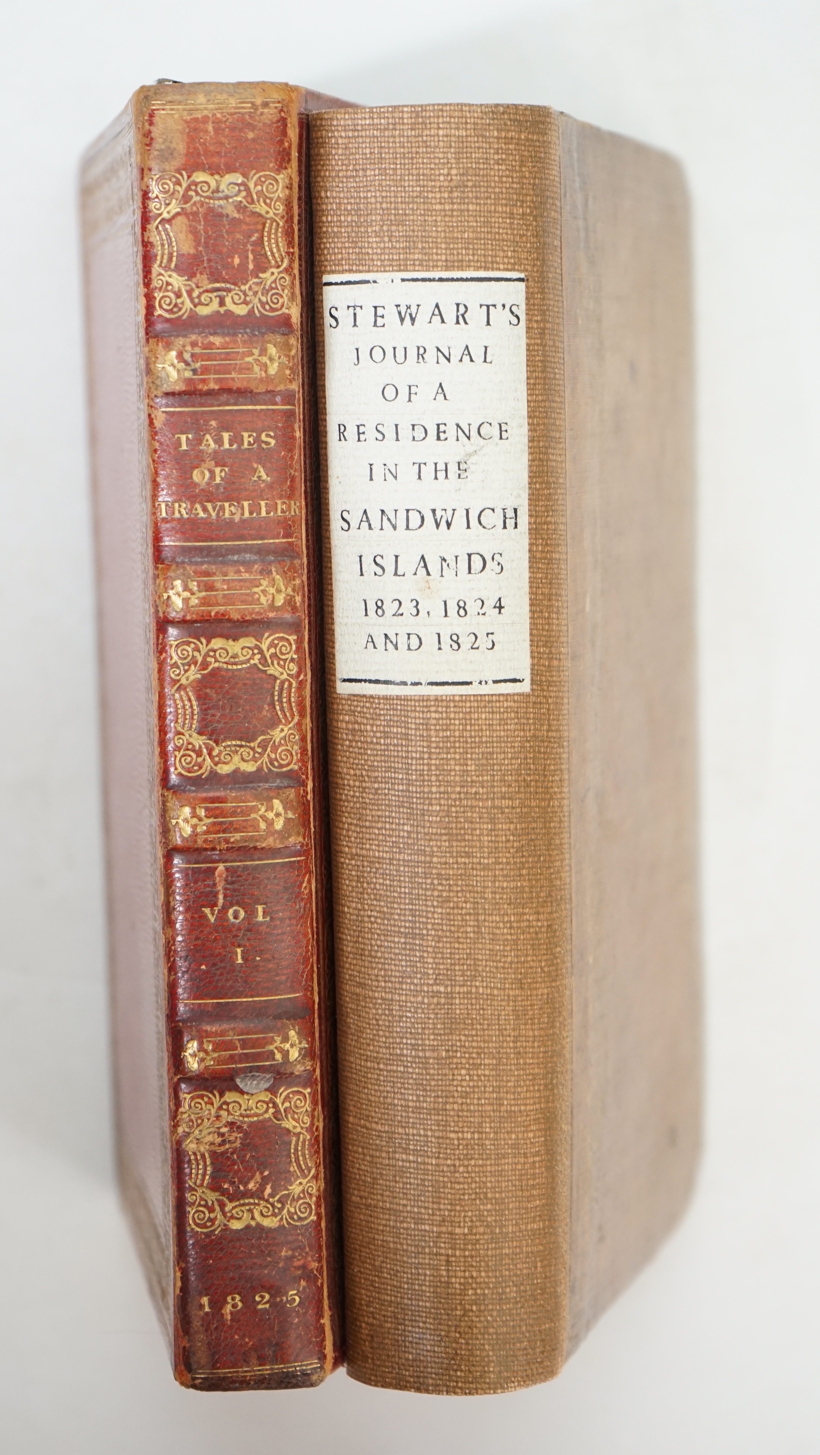
Lot 1299
Sale: 080724Stewart, Charles Samuel - Journal of a Residence in the Sandwich Islands, during the years 1823, 1824, and 1825, 3rd edition, 8vo, rebound cloth, with 1 folded engraved map and 1 plate (of 3), H. Fisher, Son, & P.Jackson
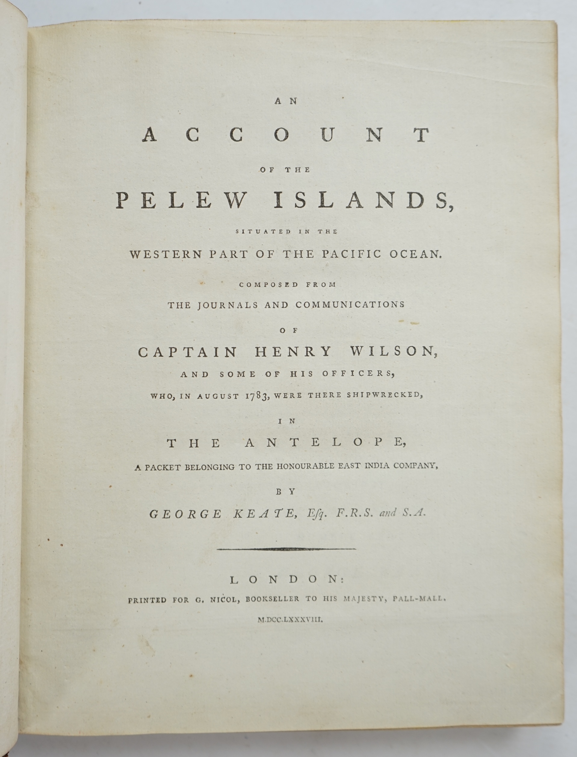
Lot 1301
Sale: 080724Keate, George - An Account of the Pelew Islands... composed from the Journals and Communications of Captain Henry Wilson, 1st edition, stipple-engraved portrait frontispiece, folding engraved map, 15 engraved plates (som
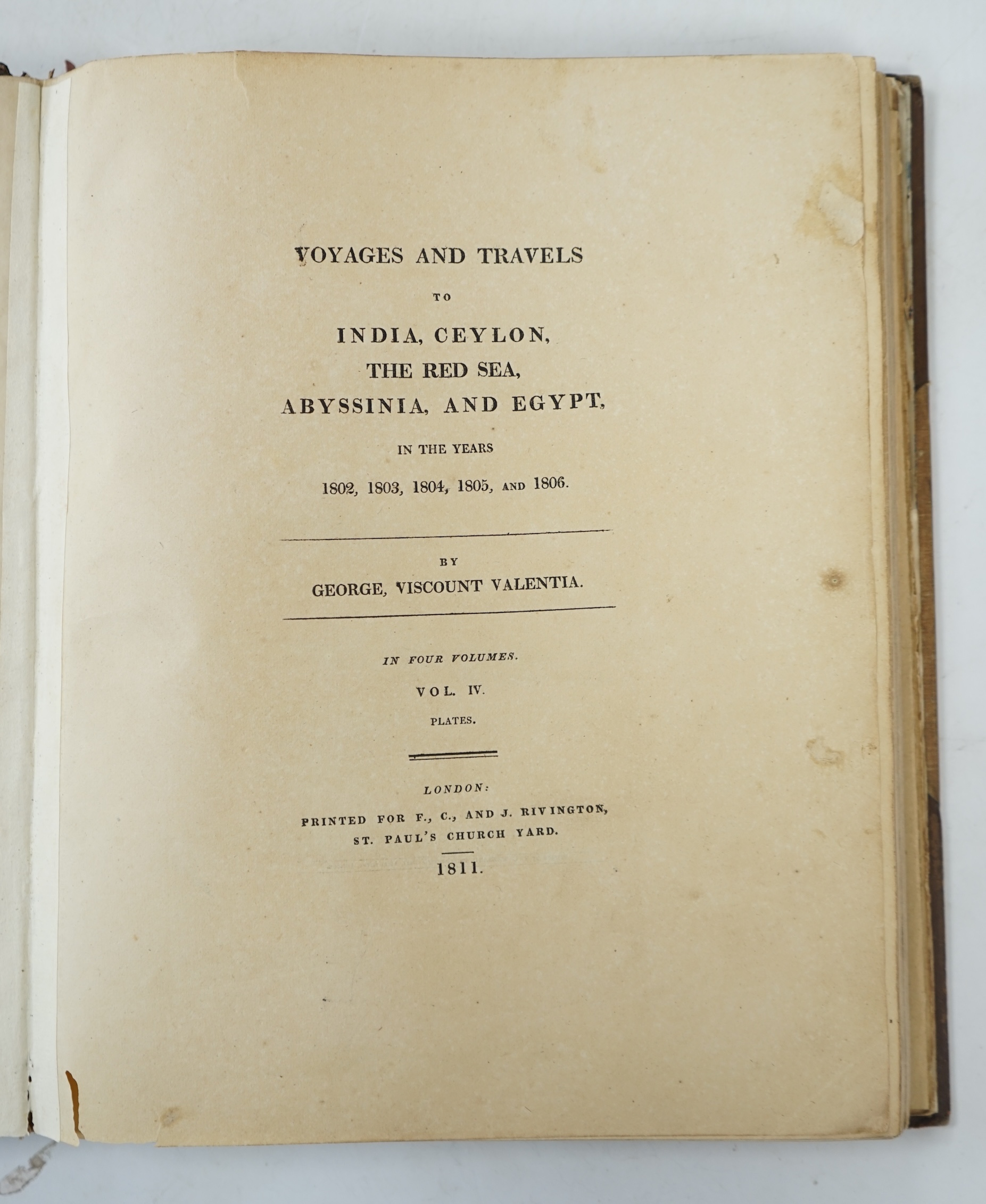
Lot 1303
Sale: 080724Valentia, George Annesley, Viscount - Voyages and Travels to India, Ceylon, the Red Sea, Abysinnia, and Egypt ... (2nd edition), 3 vols. and atlas of plates (72 including some folded - amongst which are a large plan of A
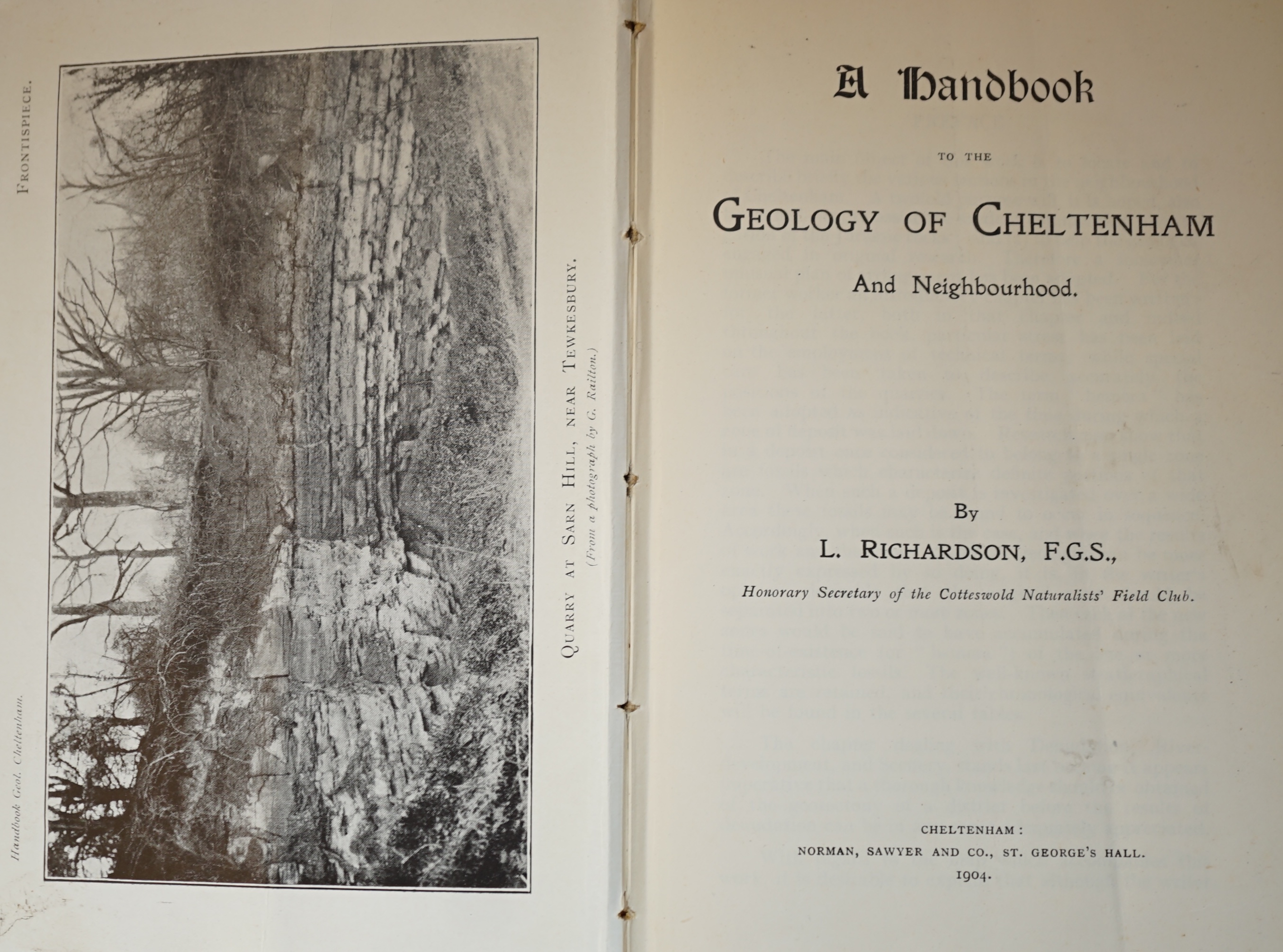
Lot 1146
Sale: 080724Murchison, R.I - Outline of the Geology of Neighbourhood of Cheltenham, a new edition, with folding coloured frontispiece map and 12 engraved plates, Cheltenham, 1844; a further copy in paper wrappers, also 1844; another
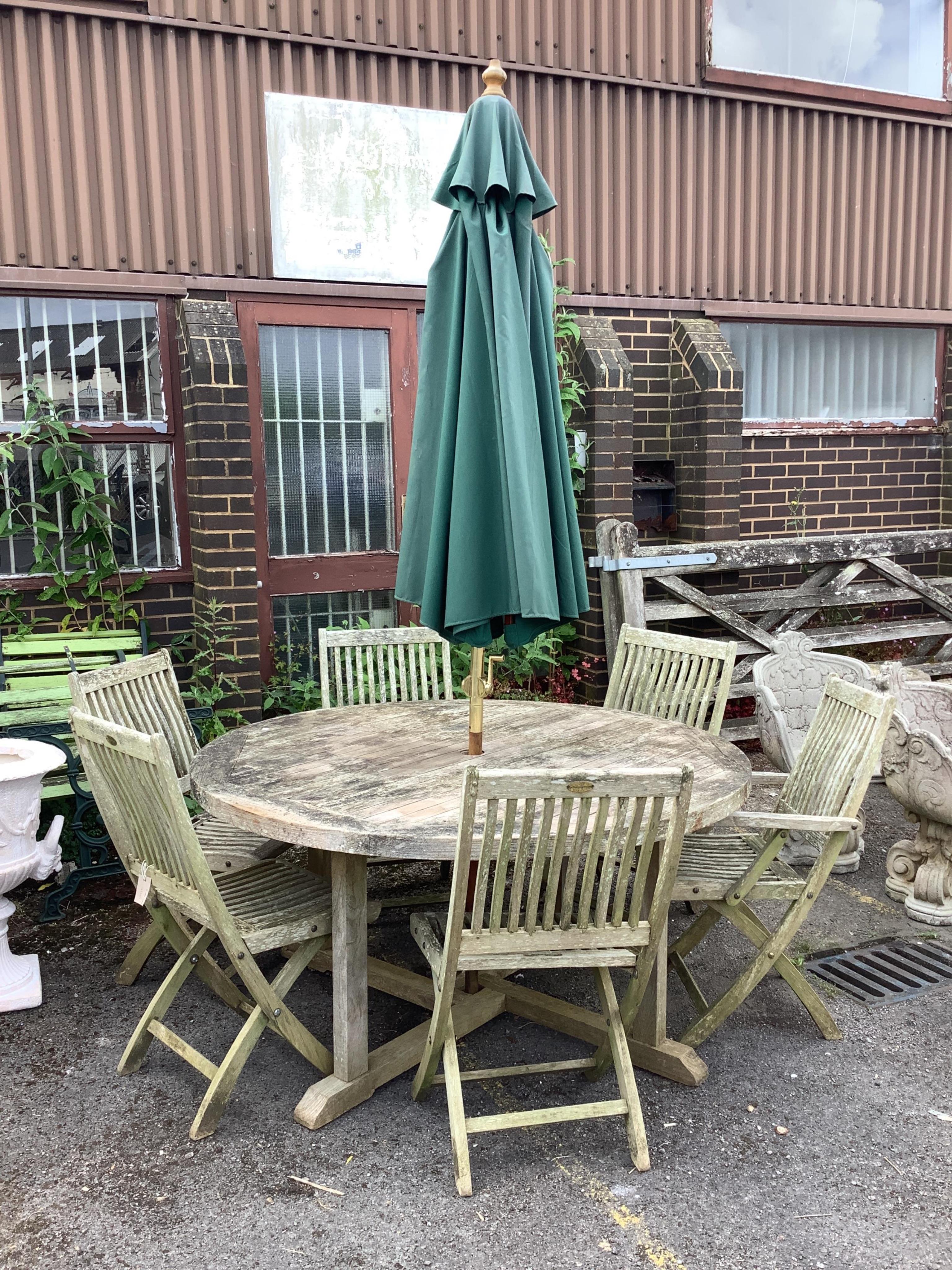
Lot 1020
Sale: 010724A circular weathered teak garden table, diameter 150cm, height 74cm, together with six teak folding garden chairs, two with arms and a green canvas crank parasol. Condition - fair

Lot 1041
Sale: 010724A Westminster rectangular weathered teak extending garden table, width 140cm, depth 90cm, height 73cm, (leaves inoperable), together with a pair of teak folding garden chairs. Condition - fair
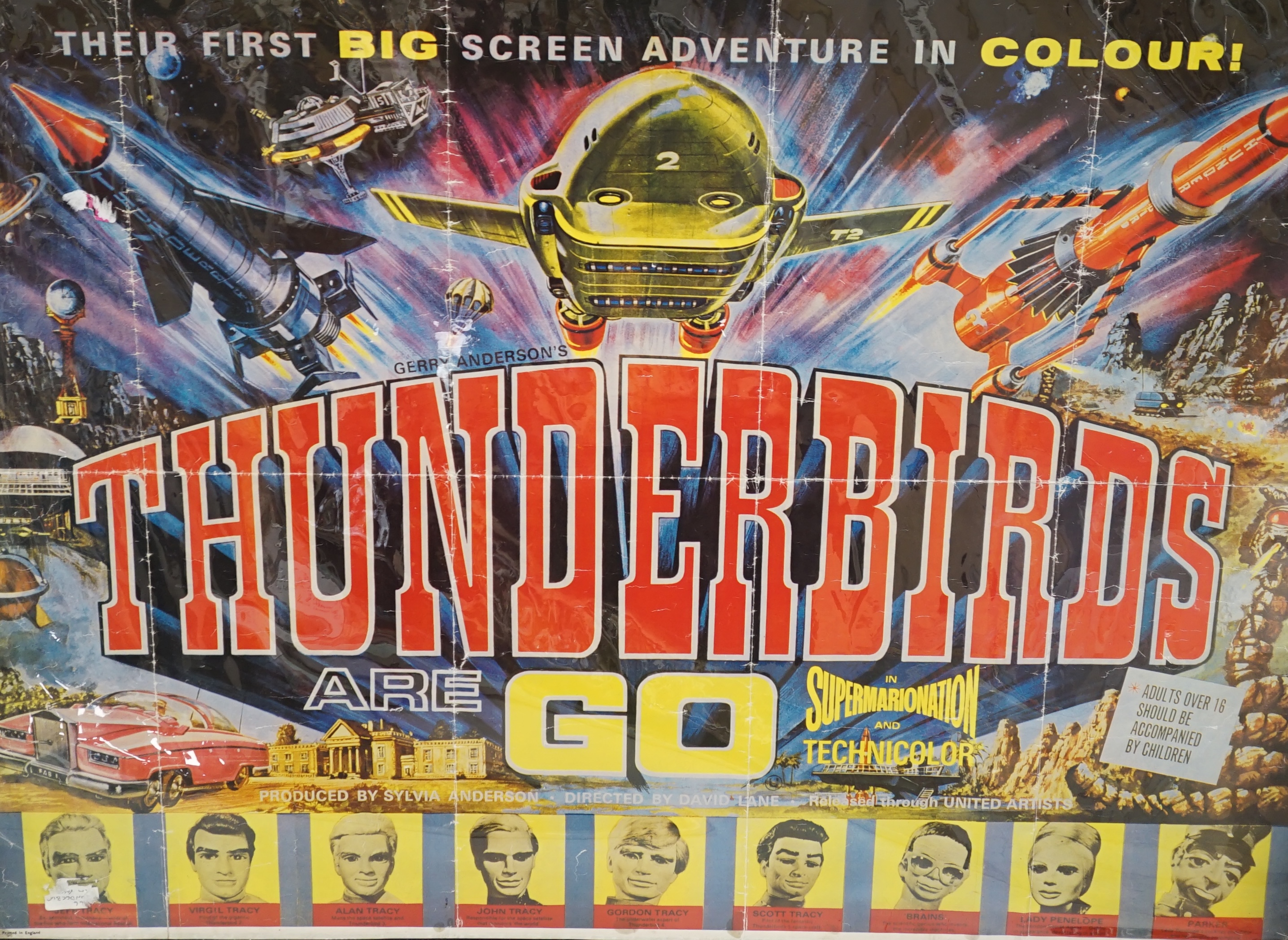
Lot 1405
Sale: 010724'Thunderbirds Are Go' film poster, a 1980’s reprint, 94cm x 78cm. Condition - fold marks, some small stains along the edges
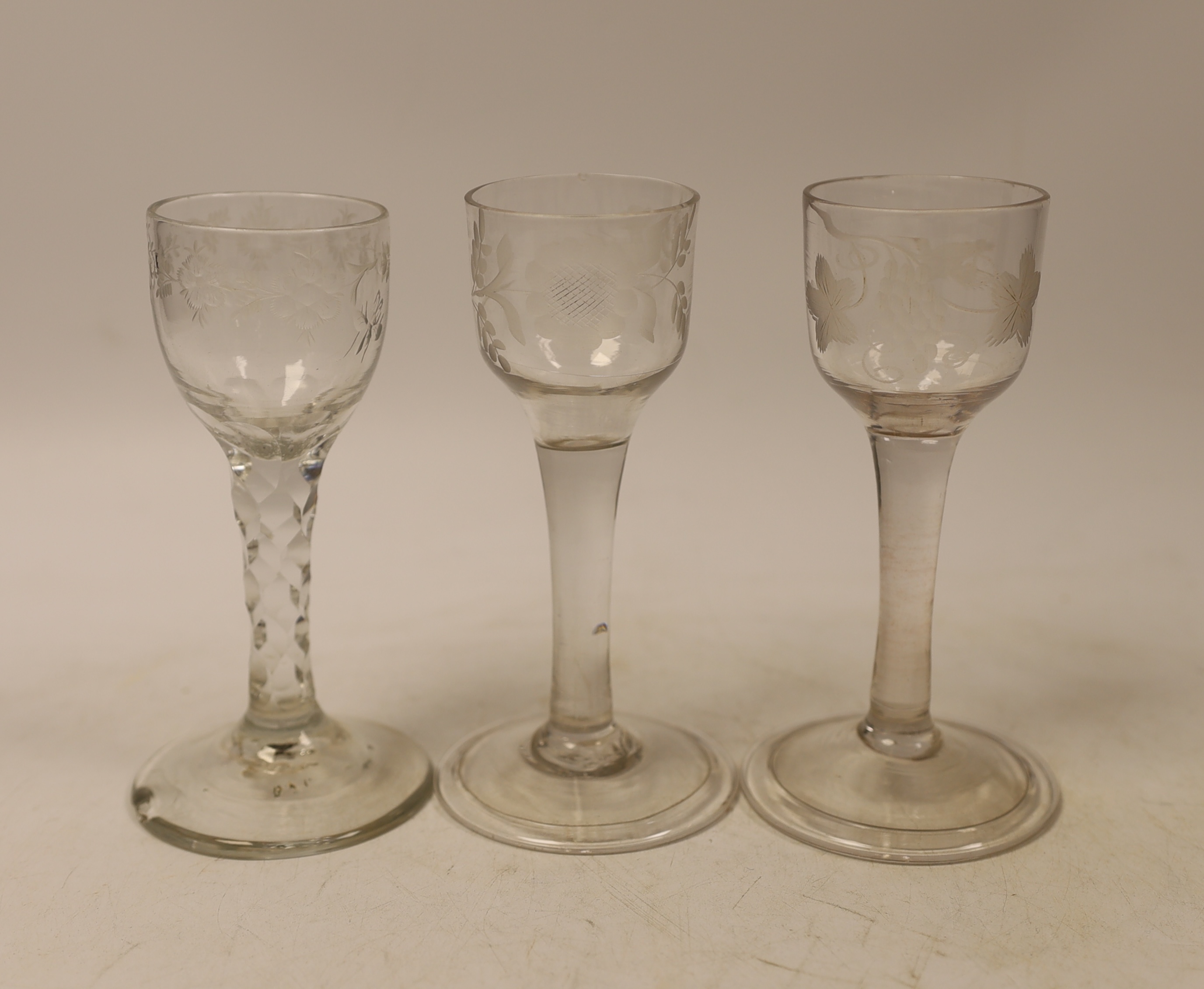
Lot 1480
Sale: 170624Two mid-18th century cordial glasses, each with wheel engraved decoration to the bowl, on a folded foot, together with a facet stem glass with engraved bowl, c.1780, tallest 13.5cm (3)
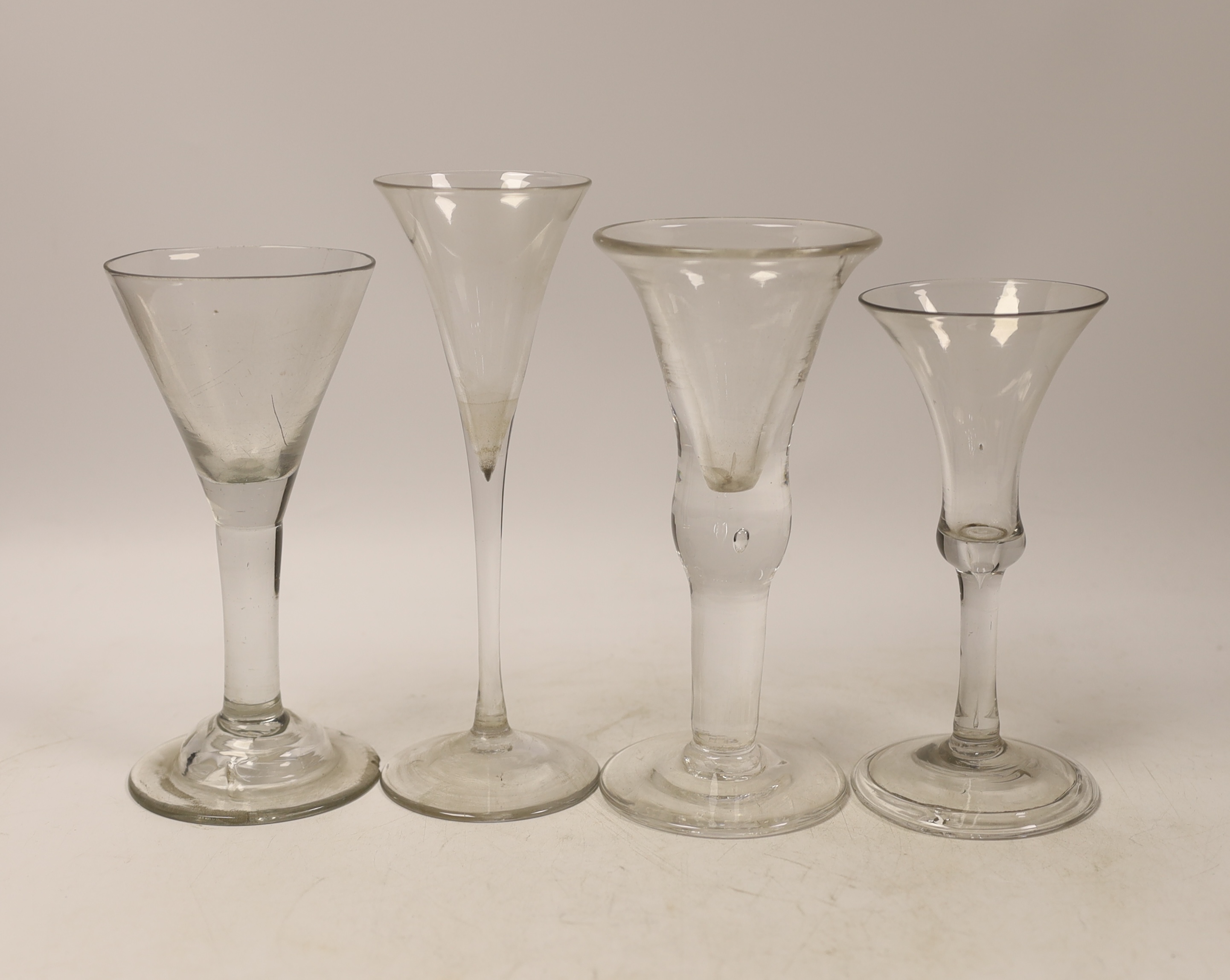
Lot 1490
Sale: 170624Three mid-18th century plain stem wine glasses, two with trumpet shaped bowls and a bell-shaped example with a folded foot, together with a reproduction drinking glass, tallest 20cm (4)
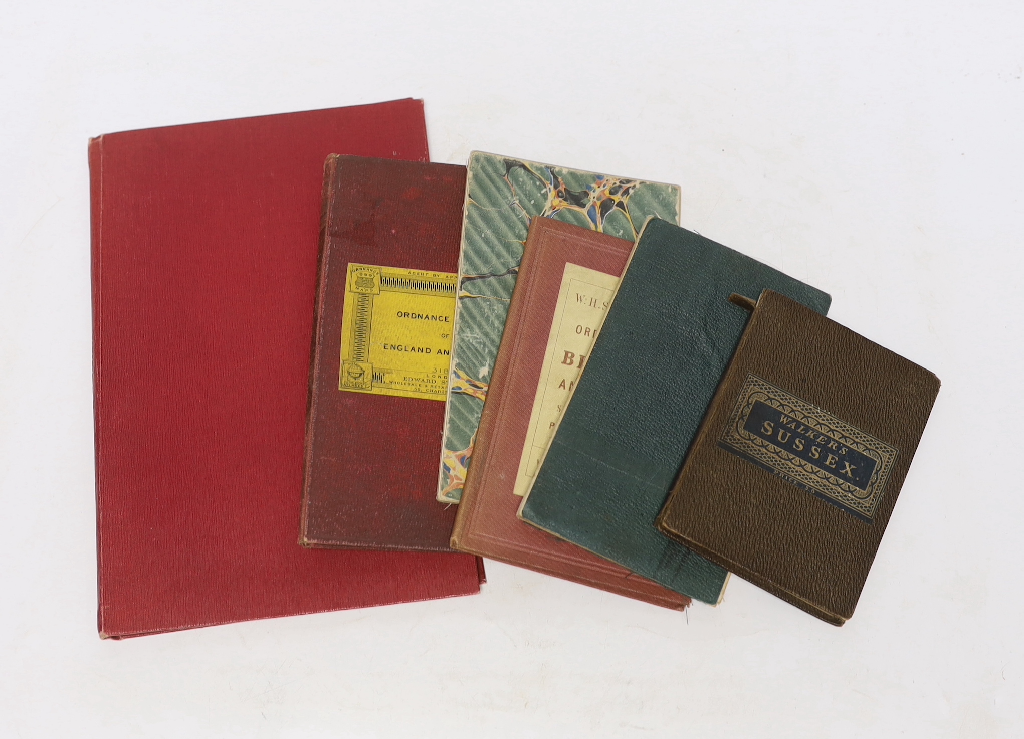
Lot 833
Sale: 100624Six 19th and 20th century folding maps of Sussex; an Ordnance Survey (318), a W.H. Smith & Son map, a Smith & Son 172 Strand 1864, two Walker’s County Maps, and a Kelly’s Map